FLYT v1
GPS-less Regional Navigation Package
Compatible with ArudPilot, Pixihawk, and INAV systems
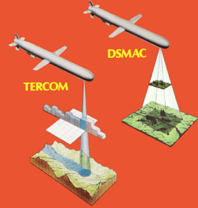
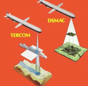
Military Proven Technologies
TAILORED TO YOUR NEEDS
Offered as Standalone Software or with Hardware
SOFTWARE
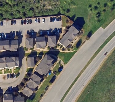
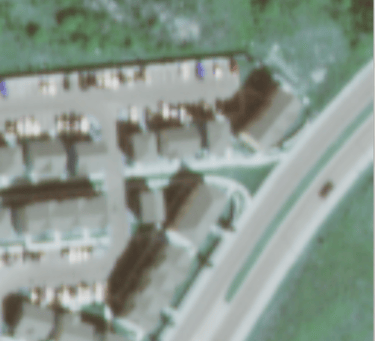
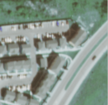
PROCESS DRONE VIEW IMAGE
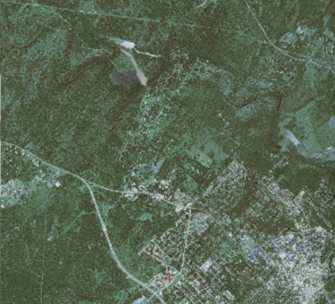
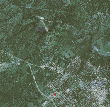
IDENTIFY REGION AND APPROXIMATE DISPLACEMENT
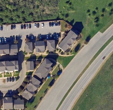
ITERATE OVER PREVIOUS MATCHES INCREASING ACCURACY AND MOBILITY
OUR APPROACH:
GENERATE FINGERPRINT MATCH
HARDWARE
LIGHT-WEIGHT , HIGH SPEED, AND MANUFACTURABLE IN VOLUME


FAQ:
What is Ghostnav?
GhostNAV provides a new type of navigational service for small to medium sized drones who need to operate in Electronic Warfare heavy environments
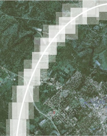
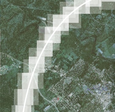
How does it work?
By analyzing several types of terrain features and using optical-flow / fingerprint matching, FLYT'S Neural Network can pin point a drones spatial coordinates from any place on earth. This system operates regardless of GPS signals, Jamming, or Microwave/Laser based attacks
What services do you offer?
FLYT delivers adaptable navigation solutions tailored to your needs. Use it as a complete all-in-one hardware system, or easily integrate our software into your existing products and devices.
Who are we for?
GhostNAV partners with defense industry organizations to upgrade drone systems, ensuring robust performance against evolving electronic warfare (EW) threats and contributing to the United States Army’s development of a modern, capable unmanned aerial arsenal.
Contact
Get in touch with us!
Phone
ghostnavllc@gmail.com
(667) 201-3192
© 2025. All rights reserved.